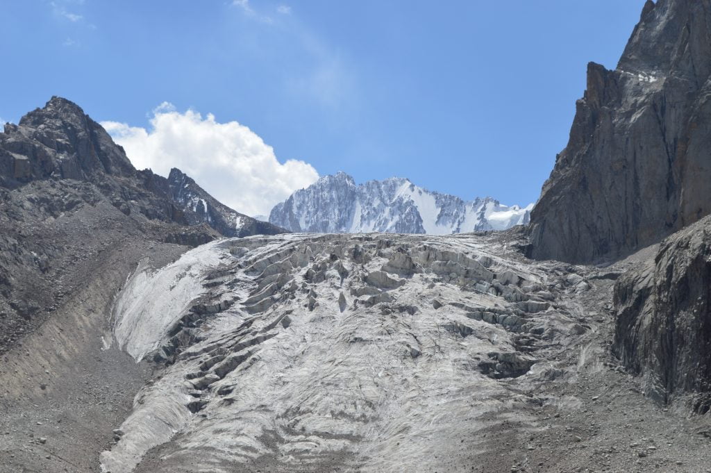
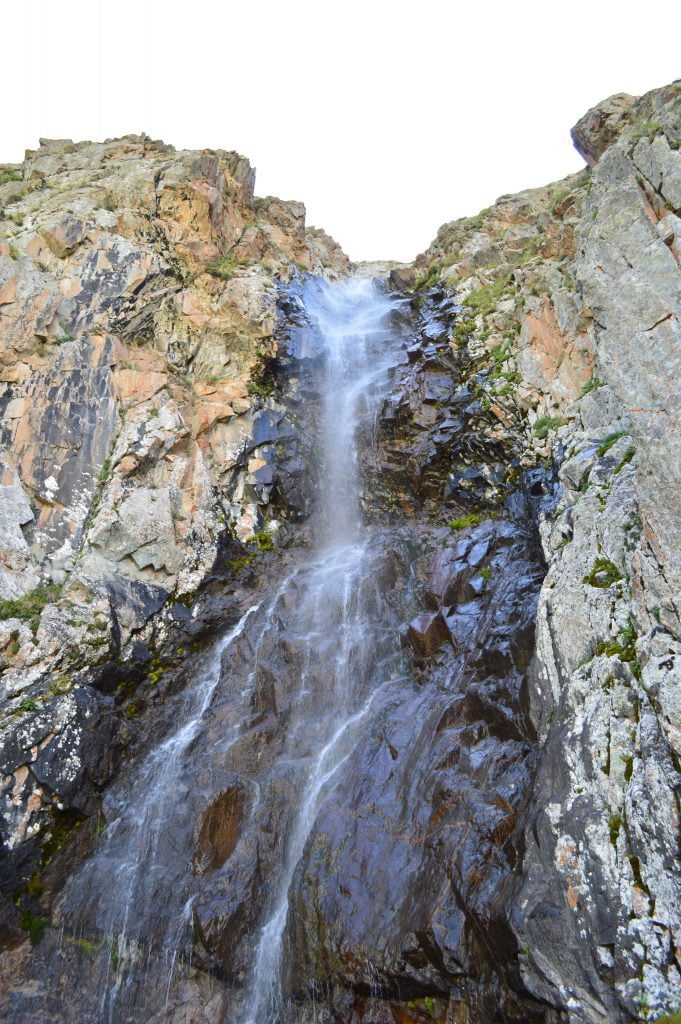
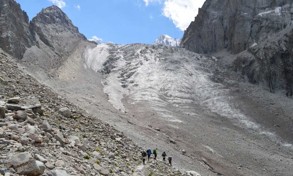
Ak Sai Glacier Basin is part of the Ala Archa National Park which is part of the Tian Shan Mountain range. The Tian Shan mountain range is the largest mountain system in Asia. Although it stretches over several countries in central Asia, the majority of the Tian Shan range lies in Kyrgyzstan. The English translation of Tian Shan is “wonderful mountains”.
The Tian Shan mountain ecosystem holds a multitude of glaciers and over 40 peaks that rise over 6000 meters in height. As a result, Kyrgyzstan is surrounded by a “wonderful” mountain range. The Ak Sai Glacier Basin is accessible to day hikers but the hike in is challenging.
Ala Archa National Park
The flora and fauna at Ala Archa park includes the extremely hard to find snow leopard, rare mountain trout, wild goats, roe deer and marmots. Last but not least, there is an abundance of Archa trees.
The most ubiquitous and endearing flora to the Kyrgyz people is the “Archa”. The Archa is a juniper tree that the Kyrgyz believe holds special properties. For example, the smoke from the wood will scare away evil spirits and therefore they burn it at weddings or before they move into a new yurt. The wood is also used to make coffins and musical instruments.
However, cultivation of the trees in villages and near homes is discouraged. This is because it is believed by the Kyrgyz that the live tree can sap the human spirit over time.
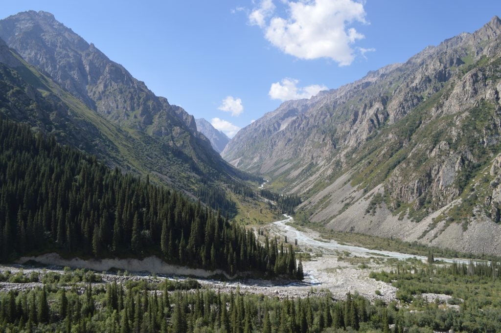
The Archa tree is widely available outside Bishkek. Therefore, it is easy to spot in the landscape as you enter Ala Archa National Park. In the photo below there are many Archa trees. Simply look for the rich green vein of evergreen trees that stretches from the left of the photo.
Easy Navigation in Ala Archa National Park
This mountainous national park is located about 40 kilometers south of the capital city Bishkek. It is a short drive from Bishkek and therefore it isn’t necessary to stay in the Ala Archa hotel or the Ala Archa Lodge. After you pass through the entry gate and pay the small fee, simply continue about another 12 kilometers to the trail heads. Fortunately, acquiring a Ala Archa National Park map isn’t necessary because there are only 3 main trails.
- The trail to the right (west) leads to a cemetery for mountain climbers
- If you hike south, the trail down the Ala Archa Valley to an old ski resort
- The trail to the left (east) leads to the Ak Sai Glacier. (This was my preferred route.)
Ak Sai Glacier Trail
Navigation is easy to figure out going to the park and inside of it. However, the climb into the Ak Sai Glacier basin is not for the inexperienced hiker. There is no technical climbing required although you should be prepared for a long steep grueling hike. Additionally, the high elevation can create fast changing Ala Archa weather patterns. So come prepared.
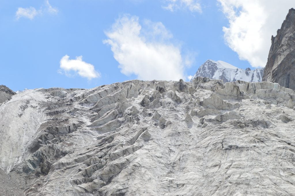
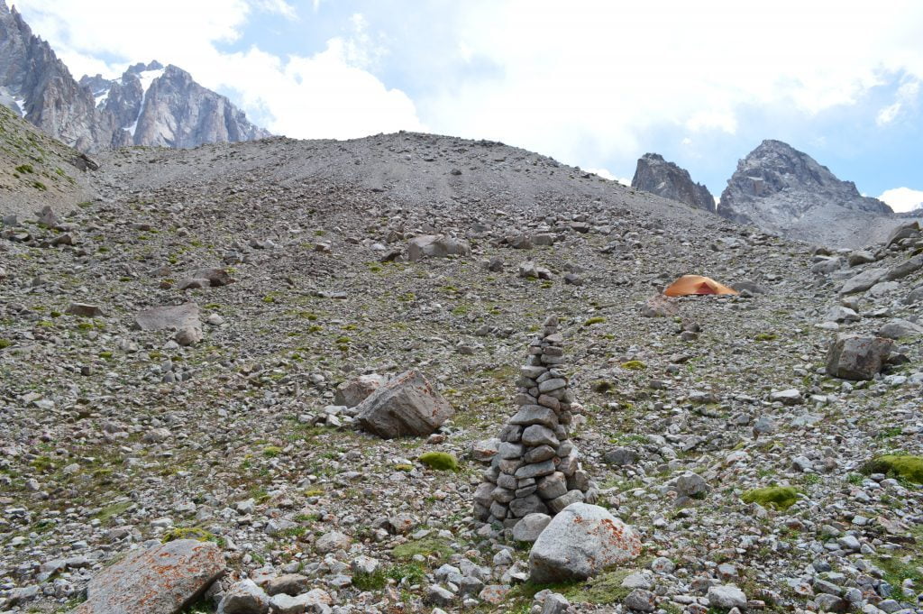
However, you will be well rewarded once you get there!! In the basin you will find majestic views of the glacier and also the surrounding mountain peaks. This includes the 4860 meter high Mt. Korona and the 4740 meter high Mt. Free Korea. Besides the views you will find a mountaineers’ base camp and also a building which is a relic of the Soviet era.
Additional Photos of the Ak Sai Glacier Basin
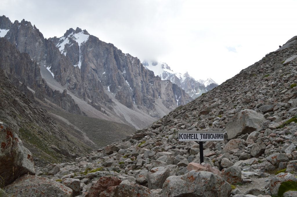
Here are some additional photos I took while I was hanging out in the Ak Sai Glacier Basin.
