
There are many interesting attributes that make up Africa. However, the Namibia geology and landscape is by far the most astounding. In certain locations within Namibia you will have the genuine feeling that you are on another planet. Possibly you have just emerged from a time machine into a prehistoric time period?
Location of Namibia
Go to an online map and do a search for Namibia. You will see that it is in Southwest Africa and shares its borders with Angola to the north, then Zambia, Zimbabwe, Botswana to the east and South Africa to the south.
However, it is Namibia’s coastline that is the most important aspect of its location. It is here that extreme heat and dry weather meet a constant source of extremely cold water that flows up from Antarctica. Indeed, this unique confluence of elements converging on its location constantly over millions of years has created Namibia.

The Influence of the Benguela Current on Namibia Geology
The Benguela current is actually a phenomenon that occurs in the Atlantic Ocean which creates the unique Namibian landscape. Ironically, it is cold water that makes Namibia geology the most uniquely photographic desert landscape in the world.
The Benguela current flows north up the Namibian Coastline from South Africa to Angola. Additionally, the Benguela current is a cold water current that flows up from Antarctica. This ironically creates the climatic conditions that give birth to the oldest desert on earth.
The cold water creates an air inversion over the coastline which makes cloud formation very difficult for long periods of time. In fact, in certain sections of the Namib desert it is estimated that it has not rained in over 20 years.
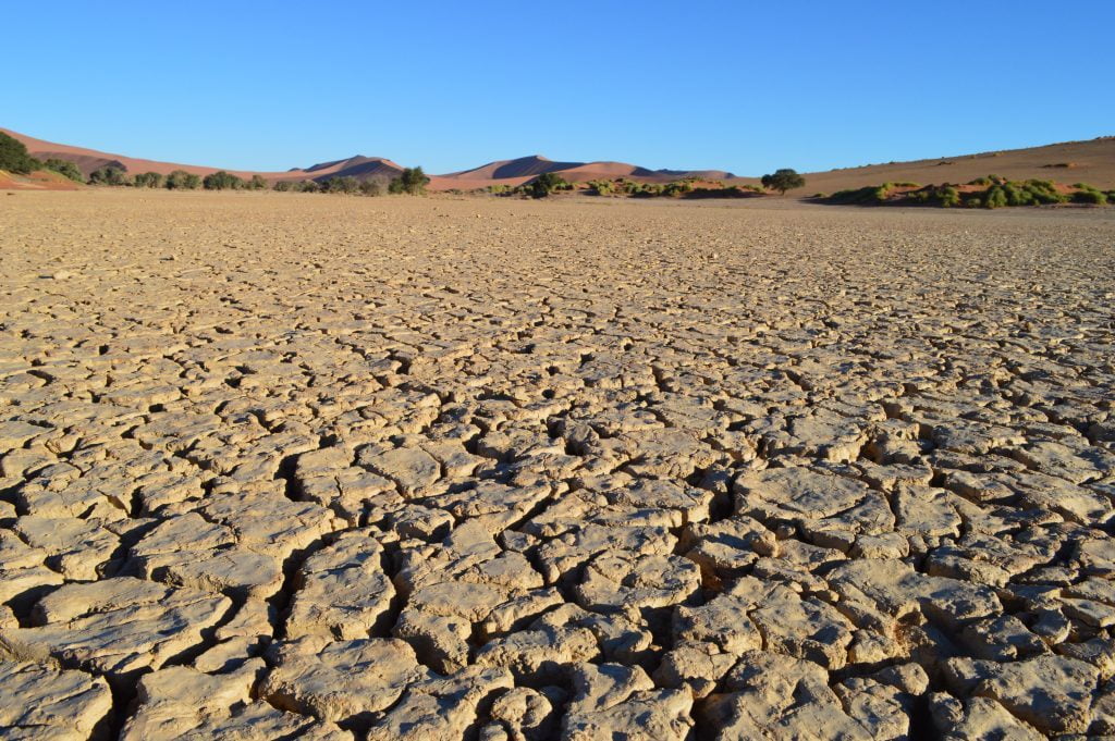
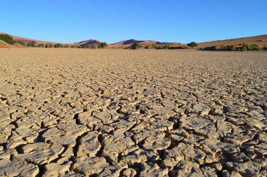
Colorful Namib Geology in the Namib desert
These climatic conditions have existed for over 20 million years which makes the Namib the oldest desert on earth. The Namib Desert commences in the Northern Cape Province of South Africa. It continues 2000 kilometers north up the Namibian coastline into South Angola. It then stretches approximately 170 kilometers inland and The Great Escarpment roughly forms its eastern border.

The Birth of Namibia Geology
The birth of Namibia geology was approximately 2500 million years ago. At that time, the oxygen needed for higher forms of life was missing from the atmosphere. As a result, the only forms of life on earth were things such as bacteria and algae that lived beneath the ocean surface.
Geologically speaking lots and lots of fascinating things occurred during the subsequent 2000 million years. But to speed things along we are going to skip ahead to the formation of the Gondwana Continent which occurred about 550 million years ago.
The Gondwana continent was a connected landmass comprised of the present day continents of Africa, Australia, South America, Antarctica, Madagascar and India. When the continents came together in great collisions, the mashing and folding of the landscape caused the formation of mountains.
Ice Ages Bring Glaciers to the Namibia Landscape
Next, the glaciers came northward from the Antarctic land mass that existed as part of the Gondwana Continent. The mountain building and then glacial erosion had long lasting effects on the Namibian landscape.
Then 120 million years ago the Gondwana Continent split apart. This gave the area stretching from the Atlantic Ocean to the eastern edge of the Namib Desert its geological characteristics.
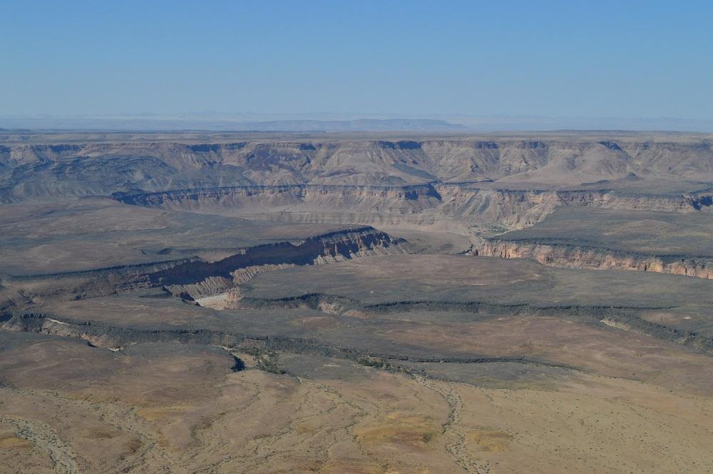
Origins of Namibia’s Escarpment
When Gondwana split up, the South American continent broke away from Africa. The release of pressure caused the continental edge of Africa to rise upwards. The gentle downward slope to the east created the Kalahari Basin. The western edge of this great “bowl” is called the Great Escarpment.
From this western edge the slope is downwards to the west, until it reaches the edges of the Namib Desert. The landscape then flattens out until it meets the coastline and the Atlantic Ocean. The Great Escarpment is still a prominent feature of Namibia geology. This gives an important background to the areas of Namibia which I traveled through.
During this time period, the break up of the Gondwana Continent also created a lot of volcanic activity. This activity also played a large role in the present day cosmetics of the Namibian landscape.
Enjoy Namibia Geology and Landscape
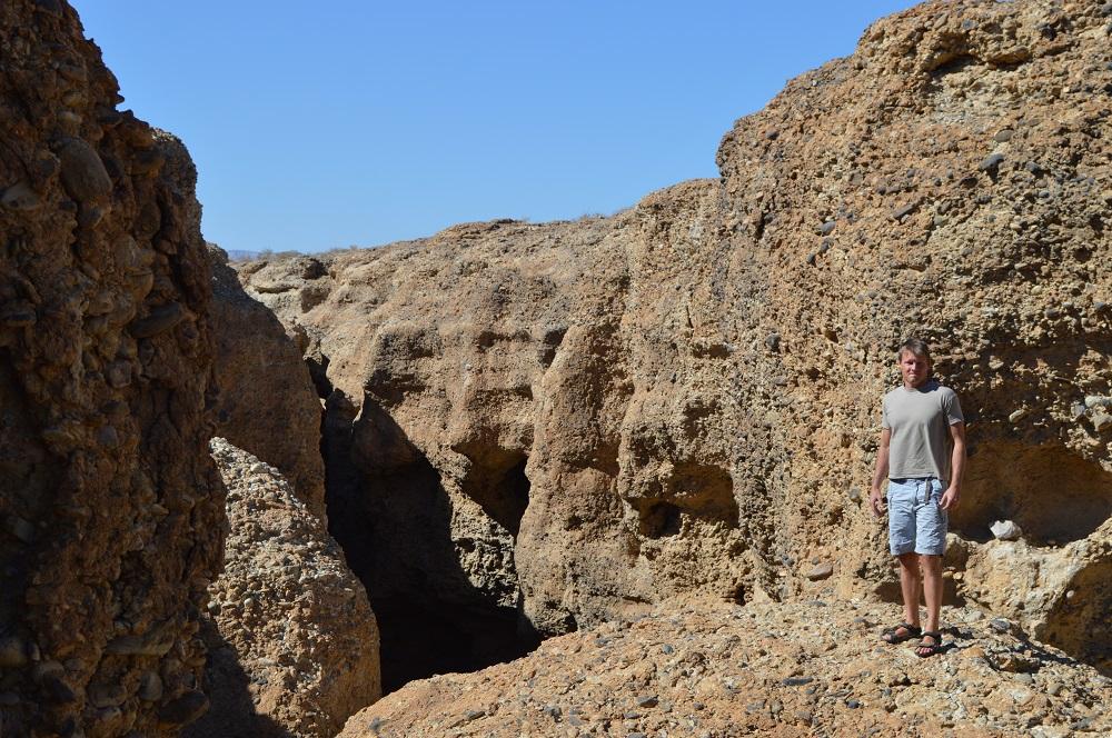
My travels extended from the Fish River Canyon in the south to Etosha National Park in the north. Additionally, my travel exploits included Swakopmund, Sossusvlei and Luderitz in the West to Windhoek in the East. I traveled the entire area by 4X4 drive and also stopped and visited many places in between which I have documented extensively here on this website.
Article Sources:
Namibia – Fascination of Geology
A Travel Handbook
Nicole Grunert